

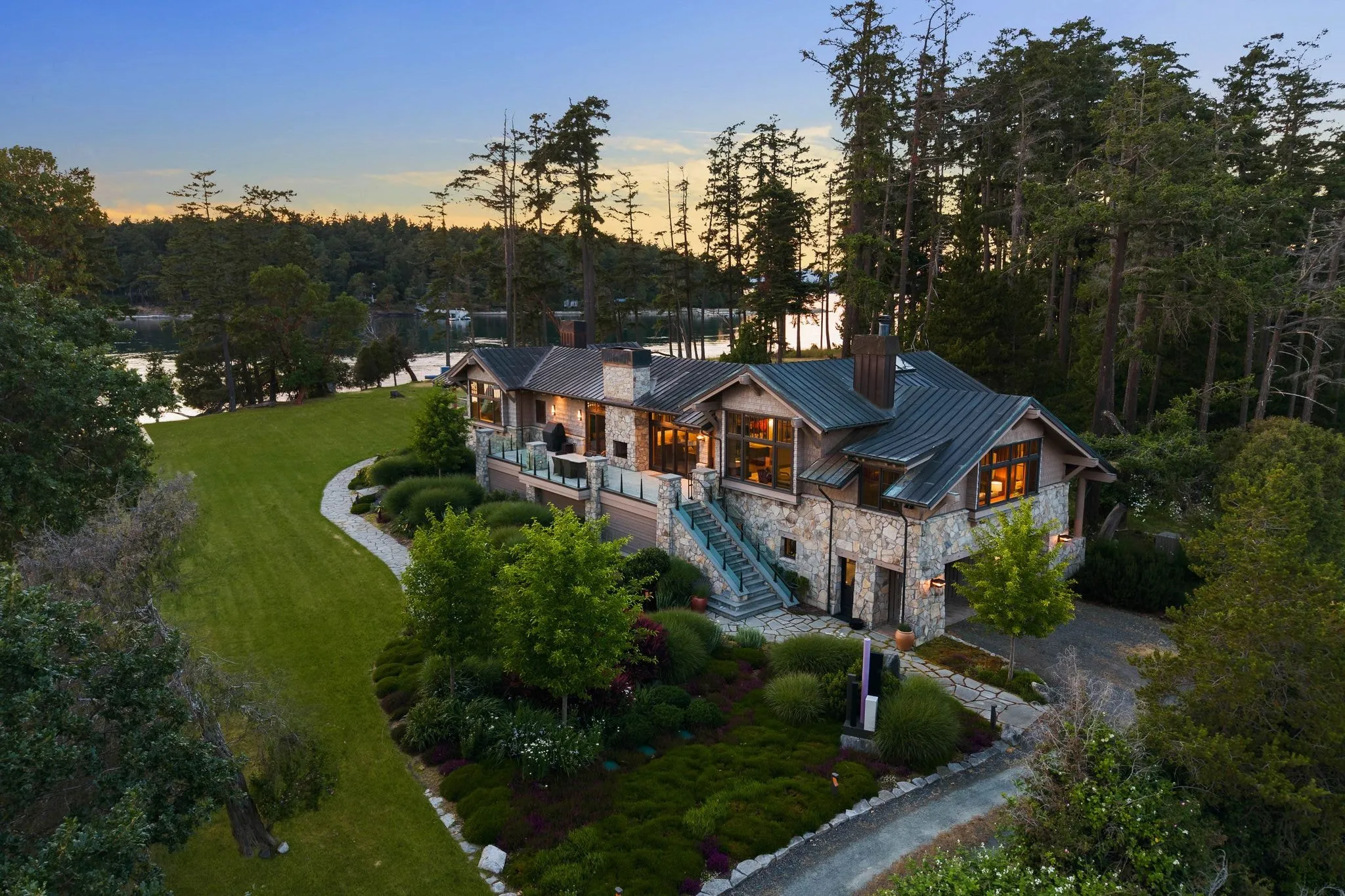
Large Estate Aerial Photography in Bellevue: Showing How the Property Connects
Photos delivered by noon the next day, or the shoot is free.
- Over $2 billion in real estate photographed
- Photos delivered by noon the next day
- 4.9★ average rating on Google
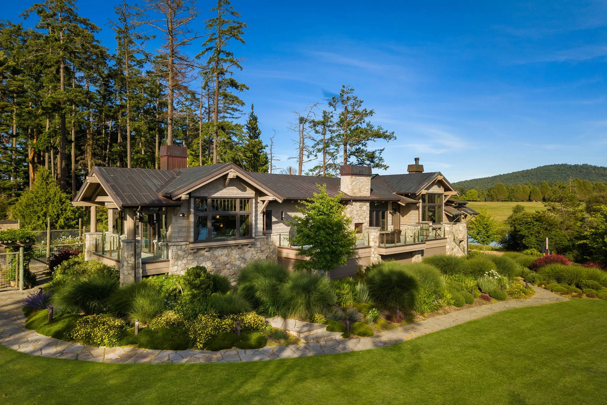
Estates That Need Aerial Coverage
Certain Bellevue properties simply cannot be represented fairly with ground-level photography alone, particularly West Bellevue waterfront lots along Lake Washington and the multi-acre equestrian parcels near Bridle Trails State Park. These listings have irregular shapes, buffered setbacks, or amenities spread far from the main structure, and aerial imagery is the only way to show how the pieces connect. Agents working these niches should treat drone coverage as a baseline requirement, not an upsell.
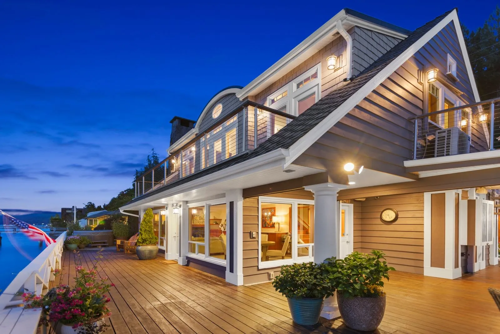
Waterfront estates in Meydenbauer and Enatai are a textbook case of ground photography failing to do a property justice. These lots often feature a private dock, a boathouse, a stretch of bulkhead or beach, and a home set back from the water behind mature landscaping. Standing on the shoreline or in the yard, a photographer can capture the dock or the house, but never both in a way that communicates the actual relationship between them. An aerial pass resolves this instantly, showing the full run from street to shoreline, the dock’s condition and slip configuration, and how much usable waterfront the buyer is getting for the price per foot.
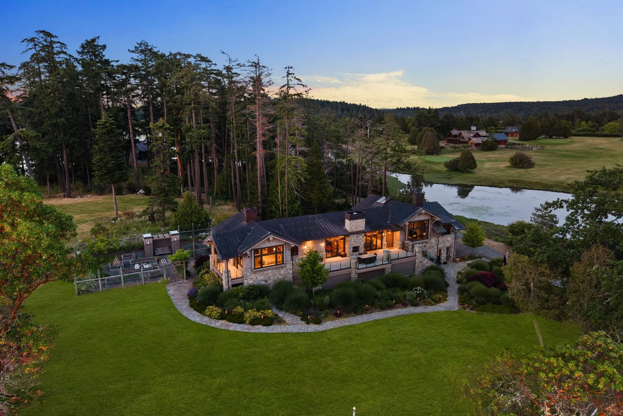
Bridle Trails presents the opposite problem but the same solution. Equestrian-zoned parcels near Bridle Trails State Park are often two, five, or more acres, with a home, a barn, riding arenas, paddocks, and trail access scattered across the property. Ground shots can only show one structure at a time, which makes a genuinely impressive equestrian estate look like a house with some outbuildings. Aerial photography lets buyers see the arena size relative to the barn, the fencing layout, and the proximity to park trail access, details that directly affect value for serious equestrian buyers.
- Waterfront lots where dock, boathouse, and bulkhead are separated from the main house by lawn or landscaping
- Multi-acre parcels with detached barns, arenas, guest houses, or shops that ground photos cannot connect visually
- Irregular or flag-shaped lots where boundary lines and usable yard space are hard to judge from the ground
- Properties marketed partly on proximity to amenities like Bridle Trails State Park access or Lake Washington moorage
In both settings, the underlying issue is the same: the property’s value is partly defined by spatial relationships that a camera on a tripod cannot capture. Buyers researching West Bellevue waterfront or Bridle Trails acreage are already comparing listings by lot layout and usable space, and a listing without aerial context reads as smaller or less complete than it is.
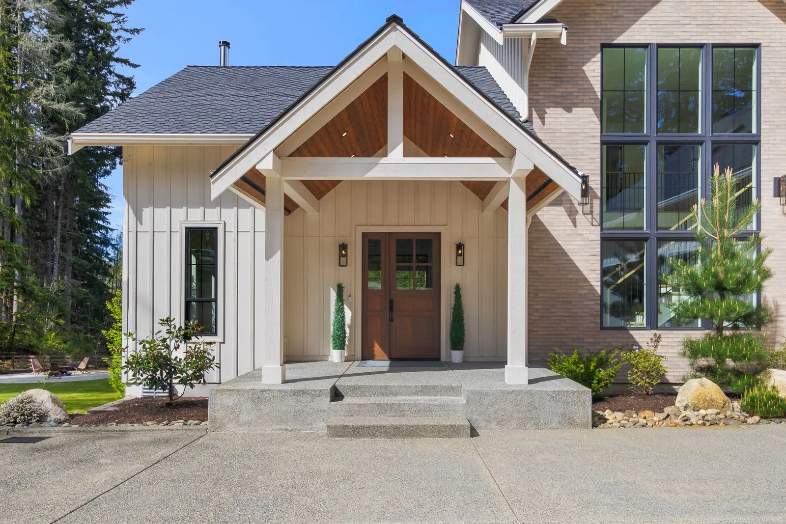
When Ground-Level Photos Are Enough
Not every property in Bellevue needs a drone in the air. A standard 7,000-square-foot lot in a neighbourhood like Lake Hills or Woodridge, with a single-family home, a two-car garage, and a fenced backyard, tells its full story from the ground. Buyers touring these listings care about kitchen finishes, natural light, and curb appeal, all of which a skilled ground photographer captures better than an aerial pass ever could.
The honest test is simple: does the property have a feature that ground level physically cannot show? A quarter-acre lot with a privacy hedge and a patio does not qualify. A five-acre parcel in Somerset with a private trail system, a separate guest cottage, and a view corridor toward Lake Washington absolutely does. Aerial photography earns its cost when it reveals scale, boundaries, or layout that no combination of ground shots can replicate. Anything smaller is standard aerial real estate photography, priced as a normal add-on.
- Lots under half an acre with no water frontage or adjoining green space
- Single-structure properties without guest houses, barns, or detached studios
- Homes where the primary selling points are interior finishes rather than land or setting
- Properties fully visible from the street or a single elevated vantage point nearby
- Listings where the budget is better spent on twilight photography or virtual staging
This distinction matters because upselling aerial coverage on a modest lot wastes a client’s marketing budget without improving the listing’s performance. A buyer searching in Bridle Trails is not evaluating acreage on a standard suburban parcel; they are evaluating the primary bedroom and the backyard deck. Spending on a drone pass there pulls resources away from the interior shots that move that listing forward.
The goal is always pairing the right tool to the right property, not defaulting to the most expensive package available. When a Bellevue estate has genuine acreage, shoreline access, multiple outbuildings, or a landscape design meant to be appreciated from above, aerial imagery becomes essential rather than decorative. Everything else does its best work from a tripod, a gimbal, and a well-timed afternoon of natural light.
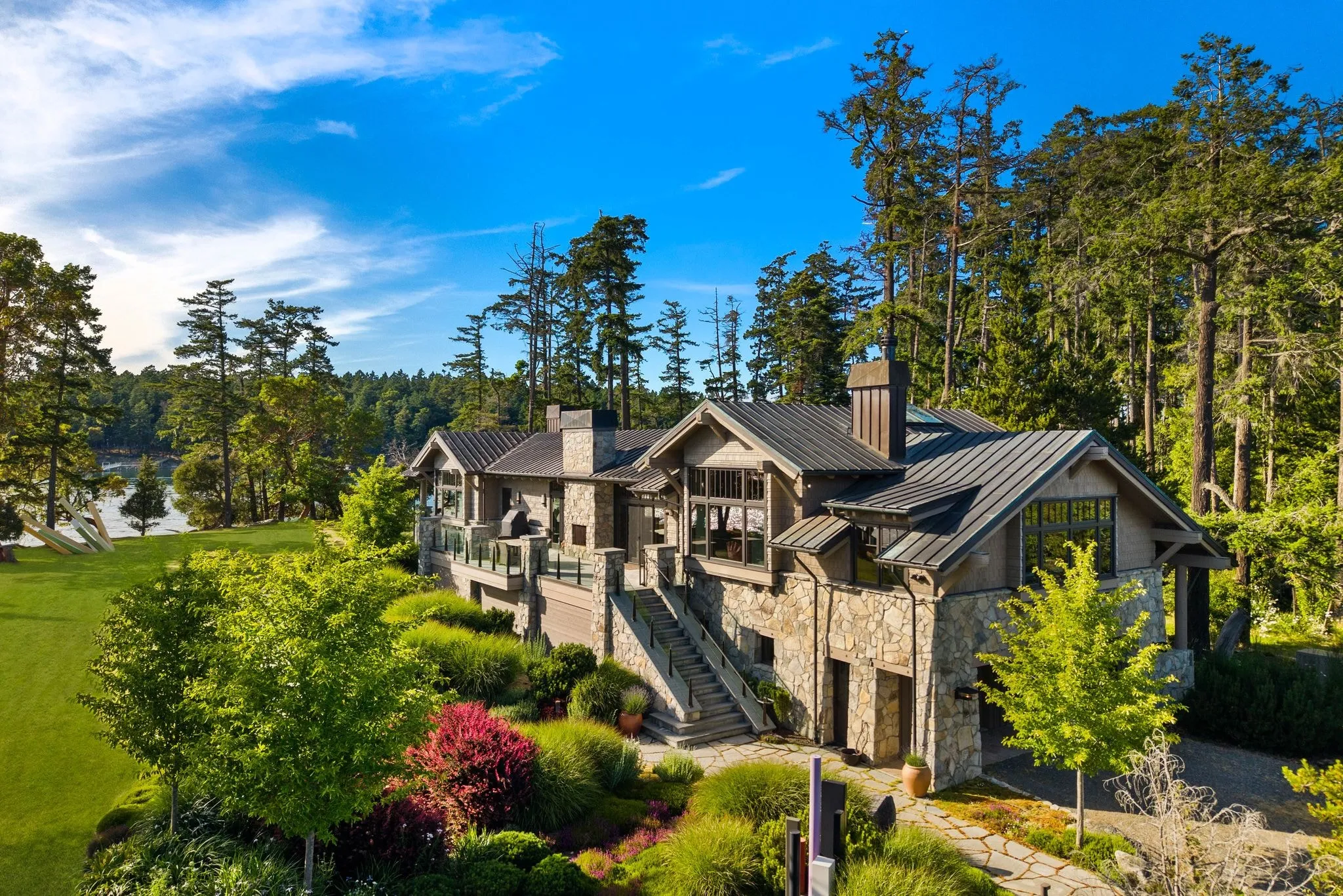
Flight Rules Near Bellevue’s Airspace
Bellevue sits in a genuinely complicated slice of Puget Sound airspace, and that complexity matters the moment a drone leaves the ground over a large estate. Much of the city falls within the outer rings of controlled airspace tied to two major facilities: Renton Municipal Airport just to the southwest, and the Seattle Class B shelf that protects arriving and departing traffic at Sea-Tac International Airport. Depending on where a property sits, altitude limits and authorisation requirements can shift block by block, which means a flight plan that works perfectly on one street in Somerset or Enatai may require a completely different clearance a half mile away near Meydenbauer Bay or West Bellevue.
Federal law requires anyone flying a drone commercially, including for real estate and estate photography, to hold an FAA Part 107 Remote Pilot Certificate. This credential is earned through a written aeronautical knowledge exam covering airspace classification, weather, aircraft loading, and emergency procedures. It is not optional, and flying without it exposes both the pilot and the property owner to significant liability if an incident occurs.
Within controlled airspace like the zones tied to Renton Municipal and the Sea-Tac Class B shelf, certification alone is not enough. Pilots must also secure real-time approval through the Low Altitude Authorization and Notification Capability system, known as LAANC. This system communicates directly with FAA facilities to grant or restrict altitude ceilings for a specific flight window, sometimes limiting drones to as low as 100 or 200 feet depending on proximity to approach and departure corridors.
- Part 107 certification is mandatory for any commercial drone flight over a Bellevue estate
- LAANC authorisation is required in controlled airspace tied to Renton Municipal Airport and the Sea-Tac Class B shelf
- Altitude ceilings can vary block by block depending on flight corridors
- Authorisation must be confirmed before the drone ever leaves the ground
- Insurance and bonding add an additional layer of protection for property owners
ACRE’s team manages every one of these steps before a single rotor spins. Our pilots are FAA Part 107 certified, and we pull current LAANC authorisation for the exact coordinates of each estate prior to scheduling. That means property owners and listing agents never have to research airspace maps or worry about compliance gaps that could delay a shoot or create legal exposure. The same clearance covers drone video if the estate is getting motion as well as stills.
How an Aerial Shoot Fits Into the Full Estate Photography Day
Your estate shoot already has a rhythm to it. We walk the interior first while the light is even, then move outside for the exteriors, then wait for golden hour and shoot twilight. Aerial coverage slots right into that same day. No second visit, no separate crew showing up a week later.
On a large lot, the drone usually goes up mid shoot, after interiors are done and before we set up for twilight. That timing matters more in Bellevue than people expect. Estates on the West Bellevue hillside sit under mature tree canopy that blocks most ground level angles, so we fly during that midday window when the light is flat and even, before shadows get long and start cutting across the roofline.
Here is the part agents do not always think about. A big lot with a gated drive, a detached garage, or a separate guest house reads completely different from the air than it does from the street. Ground photos show the house. Aerial shows the property.
We treat it as an add-on to the day, not a competing option to the core package. You are not choosing between flambient photography and drone coverage, you are stacking them. By the time we leave, you have got interiors, twilight, and aerial shot on one visit, ready for one delivery.
Aerial Pricing Structure and What Drives Cost
Aerial pricing in this industry usually comes down to three things: how long the drone is in the air, how many angles the property needs, and how the files get delivered. A quick exterior flyover on a half-acre lot takes less time than a full aerial set on a large estate with a pool house, a detached garage, and a long driveway.
Lot size drives most of the cost swing. So does the number of structures on the parcel.
- Property size and number of separate structures to capture
- Whether the shoot needs still photos, video, or both
- How many vantage points the listing calls for
- Weather and wind conditions that affect flight time
- Turnaround speed requested for the final files
Some providers charge per flight, some bundle aerial into a package, and some quote by the image. Ask how the aerial work is bundled with your ground photos before you book. That one question tells you a lot about how organised a provider is.
We treat drone photography and drone video as add-ons to your Signature Package, priced separately. That keeps your core photos, twilight set, and floor plan on one flat rate, with aerial added only when the property calls for it. Estate coverage is the widest tier of all our Bellevue drone services.
A large estate almost always calls for it.
Frequently asked questions
Does every home in Bellevue need aerial photos?
Which Bellevue neighbourhoods benefit most from drone coverage?
Do you need special clearance to fly a drone over my property in Bellevue?
What happens when the photographer arrives for an aerial session?
How do I know if my listing has enough acreage to justify aerial shots?
Can aerial photography replace ground-level real estate photos?
Ready to book your Bellevue shoot?
Tell us the address and the square footage. We’ll give you a price and a time slot on the same call.