

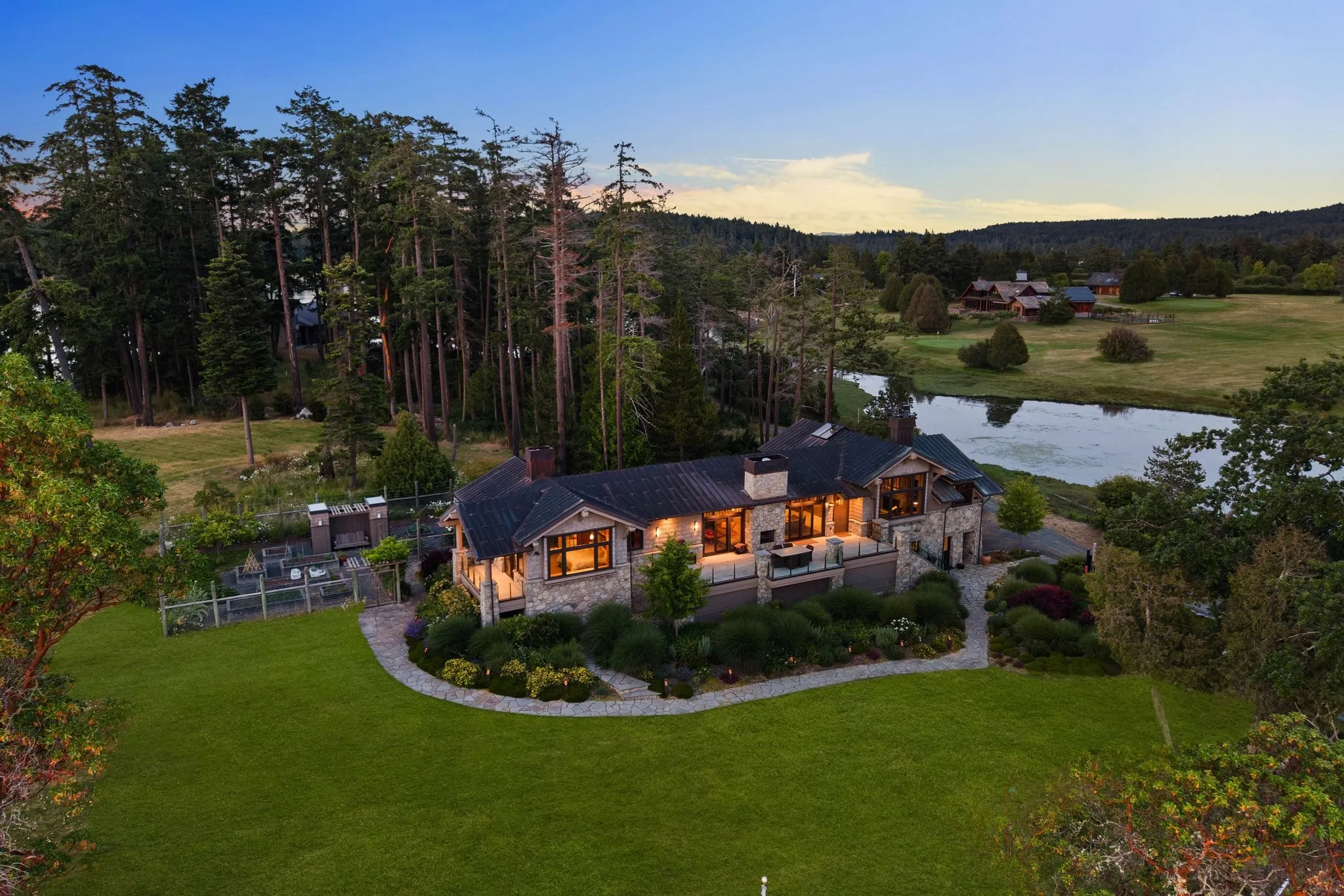
Aerial Photographer in Bellevue
Photos delivered by noon the next day, or the shoot is free.
- Over $2 billion in real estate photographed
- Photos delivered by noon the next day
- 4.9★ average rating on Google
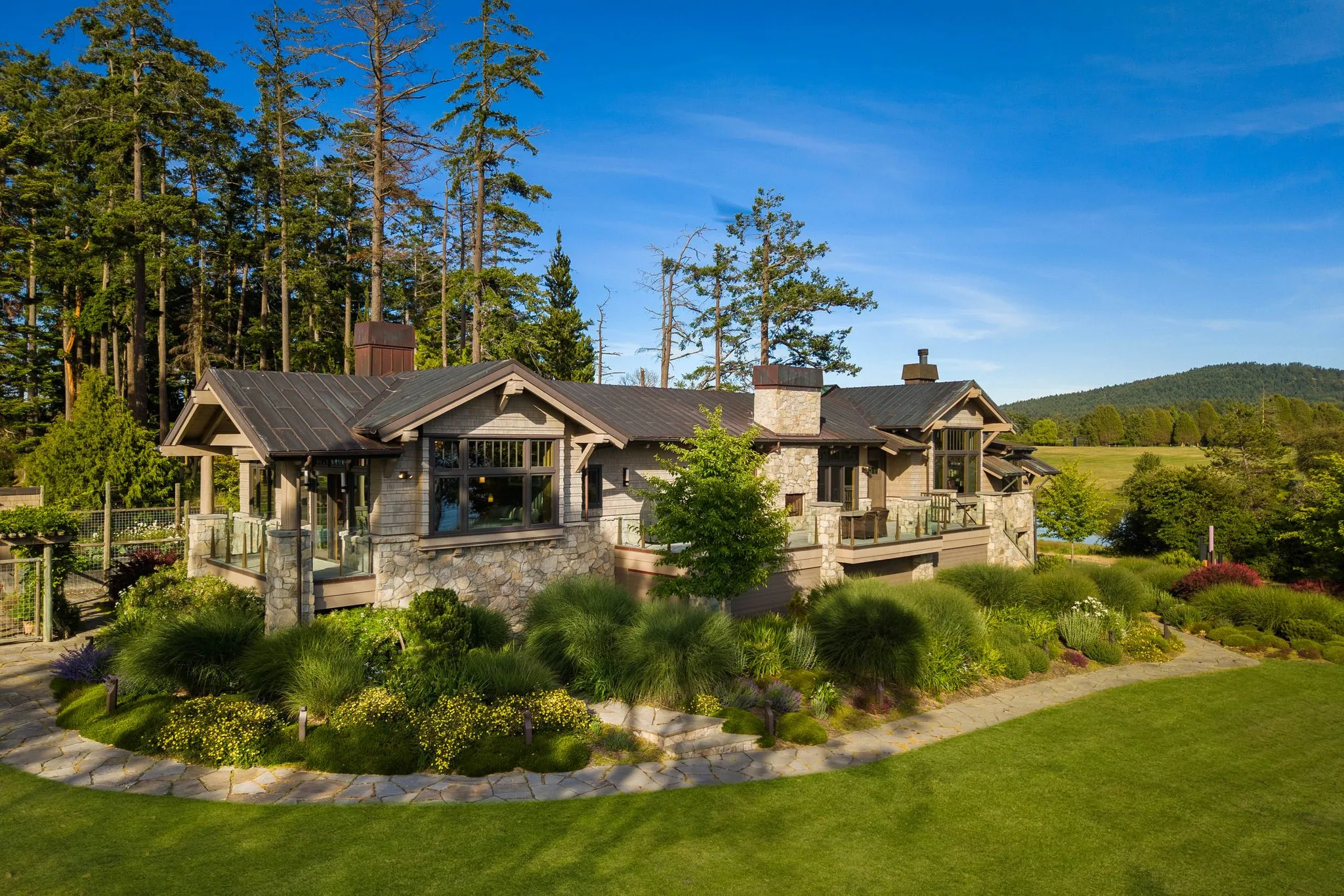
Which Aerial Service Your Bellevue Listing Needs
Bellevue listings range from condo towers downtown to waterfront estates near Lake Washington, and aerial photography needs shift a lot between the two. ACRE Seattle is a Bellevue aerial photographer working with licensed agents across Greater Seattle and the Vancouver metro.
This page covers the four aerial services we offer: drone photography, aerial real estate photography, drone video and cinematography, and large estate aerial photography. Read through each one below, then reach out to book the right fit for your listing.
Our drone pilots are FAA Part 107 certified on every shoot. That is not a nice-to-have. It is the baseline for legal commercial drone work, and it is true on every flight we run for you.
The right aerial service depends on your property type and what you need delivered. Match your listing to the service below, and you are set.
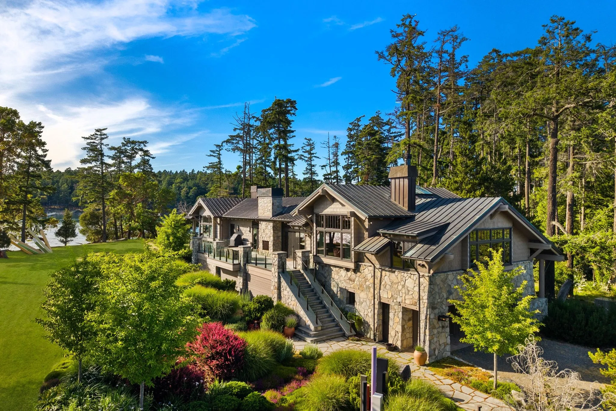
Aerial Real Estate Photography Shows Bellevue Listings From Above
Most of your listings are standard single-family homes or condos. That is exactly what aerial real estate photography is built for.
We time the flight to show curb appeal: the lot, the roofline, the driveway, the neighbourhood context around it. These images pair with your ground photography to give buyers the full picture of your listing before they ever schedule a showing.
Downtown Bellevue condo towers and standard Eastside single-family lots both fit this level of coverage well. One flight, a handful of angles, images that slot right into your existing photo set.
This is built for typical single-family and condo listings. It is not scoped for sprawling acreage or multi-structure properties, which is large estate aerial photography, further down this page.
Honestly, this is the service most agents ask for first, because it is the one that fits most listings. If your property is a standard lot, this is your answer.
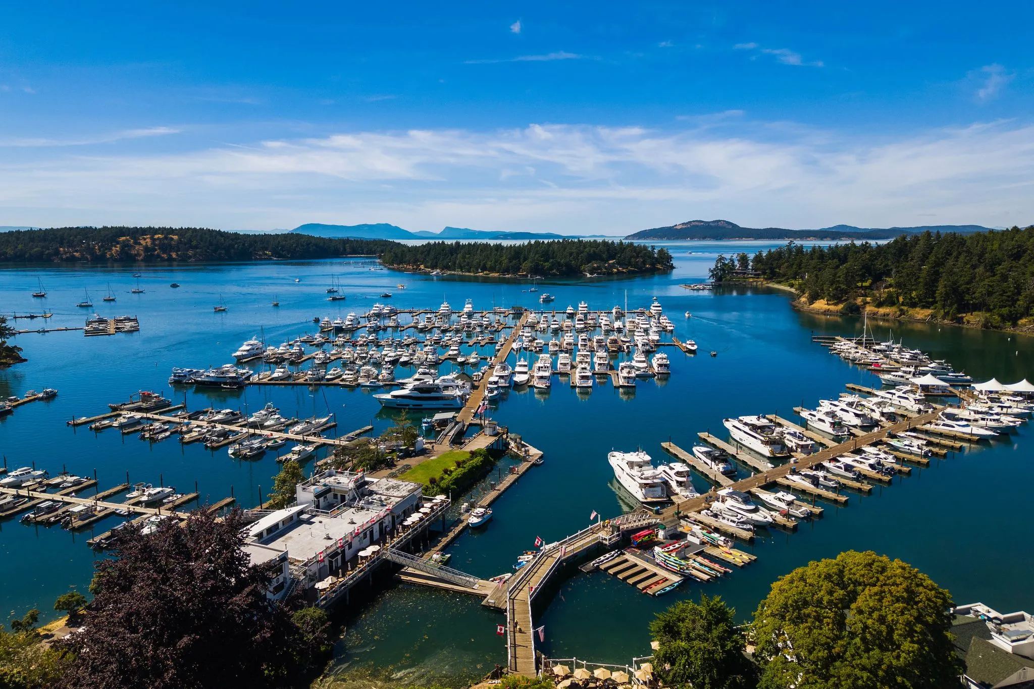
Drone Photography Delivers FAA-Certified Aerial Stills
What is drone photography, exactly? It is the general capability behind every aerial image we shoot for you: the pilot, the equipment, the flight itself.
Think of it as the foundation. Aerial real estate photography and large estate aerial photography both apply this same drone photography skill set to specific property types. On its own it is the standalone still-image service, useful when you need aerial shots as an add-on rather than a full listing package.
Our pilots are FAA Part 107 certified. That is a legal requirement for commercial drone work, not an extra credential we are tacking on to sound impressive.
Downtown Bellevue’s taller buildings mean our pilots plan flight paths around controlled airspace near the city core. It is a real factor, and it is one reason certification matters, because flying near dense buildings takes more than owning a drone.
If you need aerial stills without a full package, this is the service to ask about.
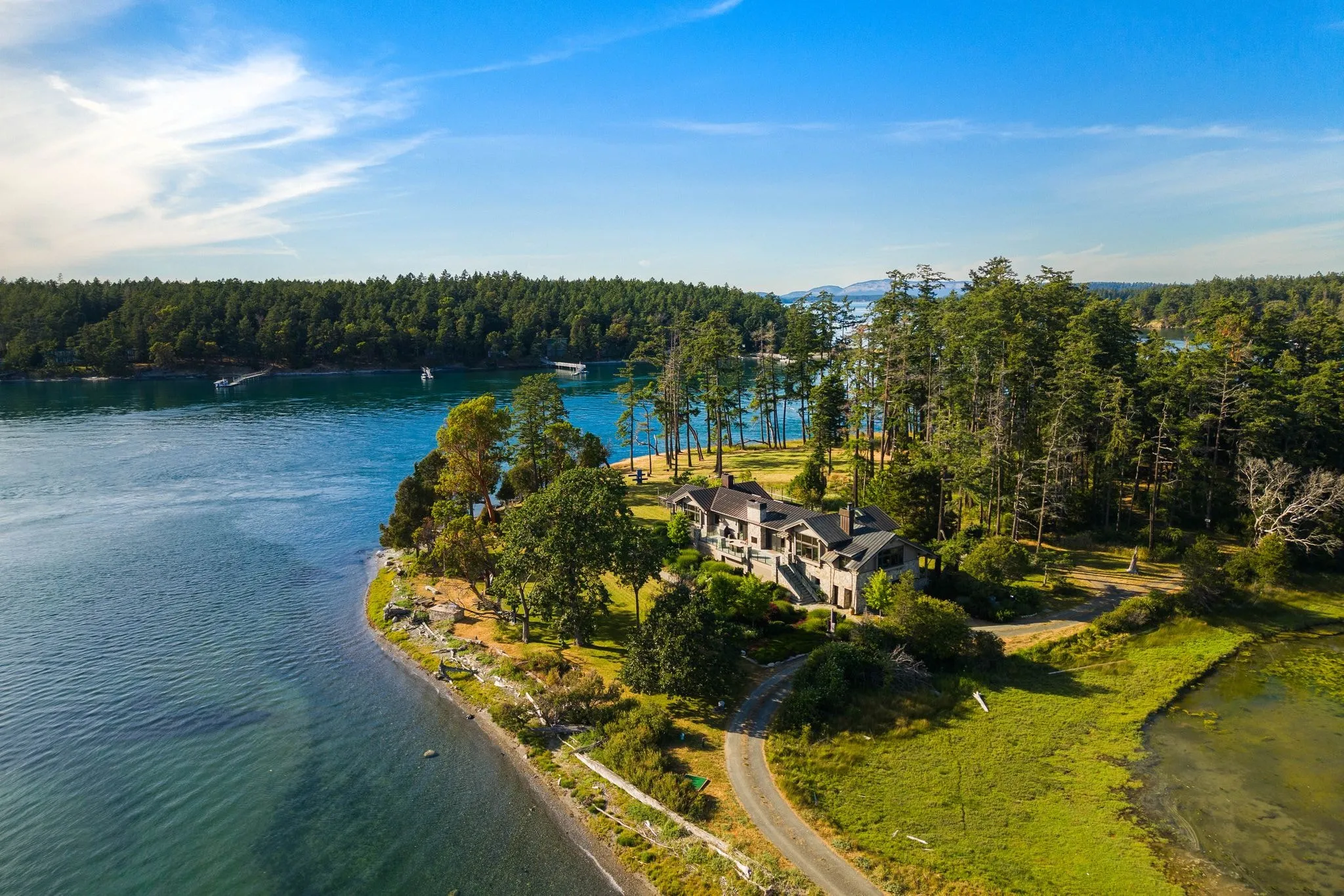
Drone Video and Cinematography Add Motion to a Listing
Stills tell part of the story. Video tells the rest.
Drone video and cinematography delivers moving footage, flyovers, reveal shots and cinematic sequences, built for listing videos and social content. Drone photography, by contrast, delivers static images for your MLS listing and print materials. Same flight, two different deliverables, and most agents want both.
We can capture your flyover footage during the same flight as your photography, so you are not scheduling two separate sessions for one listing.
One thing worth planning around: Pacific Northwest cloud cover in autumn and winter narrows the clear-sky windows we need for smooth flyover footage. If your listing video matters for a fall launch, book ahead rather than waiting for a clear afternoon.
This service is the one to ask for when your marketing plan includes video, not just photos.
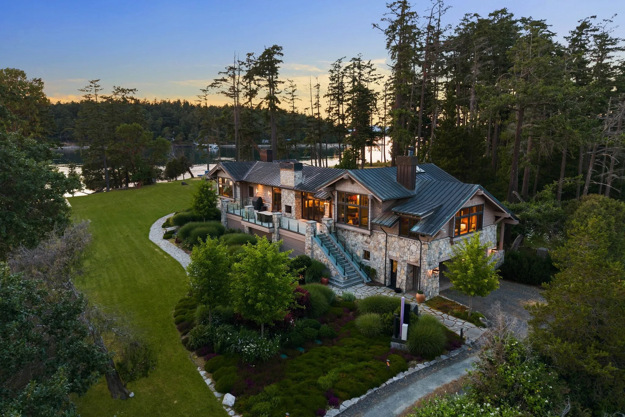
Large Estate Aerial Photography Covers Sprawling Properties
Some Bellevue listings are not about the house. They are about the land around it.
Large estate aerial photography is scoped for waterfront or multi-acre properties where lot size and grounds matter as much as the structure. We fly wider coverage to show boundaries, shoreline, and the land surrounding the home, detail a standard aerial package is not built to capture.
Waterfront and hillside estates near Lake Washington in the Bellevue and Medina corridor often need this broader framing. A single flyover angle will not do justice to a shoreline lot or a multi-structure property.
It is a different job than the standard single-family framing of aerial real estate photography, and it is worth asking for by name if your listing fits this profile.
A few signs your listing needs this instead of the standard aerial package:
- The lot includes waterfront, shoreline, or multiple acres
- There is more than one structure on the property
- Property boundaries are a selling point buyers will ask about
- The grounds, not just the home, are part of your pitch
If any of these fit, mention it when you book so we can plan the flight coverage accordingly.
Recent Aerial and Drone Work
Flown by FAA Part 107 certified pilots over listings across Greater Seattle. Click any photo to view it full size.
Frequently asked questions
Which aerial service do I need for a standard single-family listing?
Do you fly drones near downtown Bellevue’s high-rises?
What’s the difference between drone photography and aerial real estate photography?
When should I book large estate aerial photography instead of standard aerial photos?
How far in advance should I book aerial photography for a fall or winter listing?
Do you cover listings outside Bellevue, like Medina or the wider Eastside?
Ready to book your Bellevue shoot?
Tell us the address and the square footage. We’ll give you a price and a time slot on the same call.