

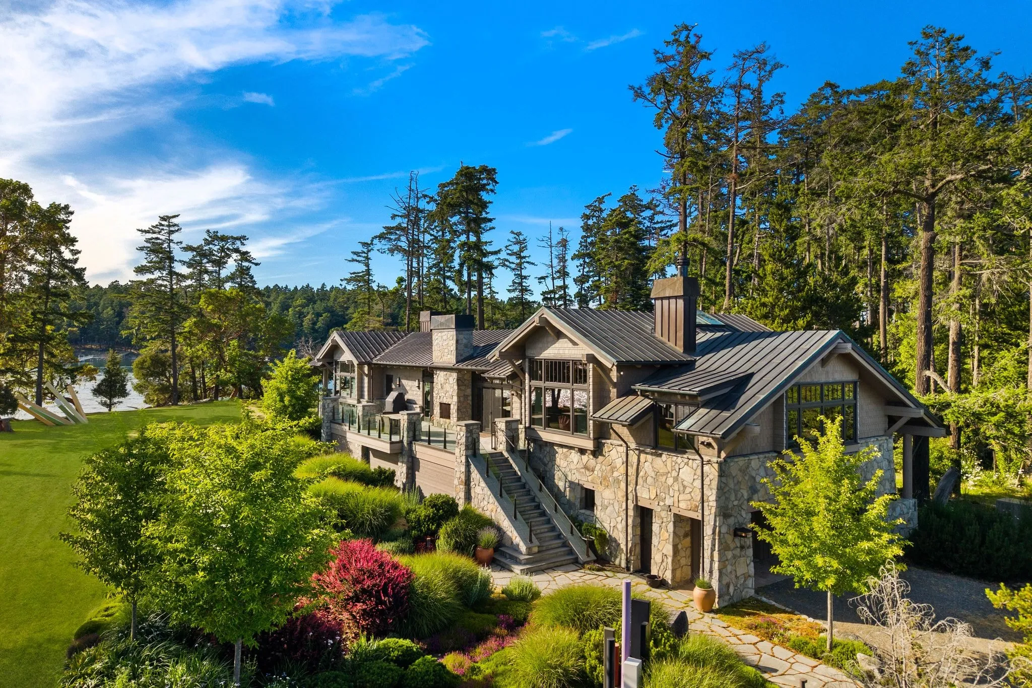
Aerial Real Estate Photography in Bellevue: See the Whole Property From Above
Photos delivered by noon the next day, or the shoot is free.
- Over $2 billion in real estate photographed
- Photos delivered by noon the next day
- 4.9★ average rating on Google
Not Every Listing Needs a Drone Overhead
Quick summary: aerial photography is not a default add-on for every Bellevue listing. Condos, townhomes, and interior-focused units in dense areas like Wilburton or downtown high-rises usually gain nothing from a drone shot, since there is no lot, view, or site context to capture. A photographer who tells a client to skip aerials when they will not help is building trust, not padding an invoice.
Bellevue’s housing stock includes a large share of stacked condos and attached townhomes, especially around Main Street, the Spring District, and Factoria. These properties are sold on interior finish, building amenities, and walkability, not on lot shape or acreage. A drone image of a shared roofline or parking garage does not help a buyer picture the layout of a two-bedroom unit on the ninth floor. In these cases, the marketing is better spent on wide-angle interior photography, twilight photography of common areas, or a short walkthrough video.
The same logic applies to interior-only listings, such as a remodel-focused sale where the seller wants to highlight new flooring, updated kitchens, or a finished basement. If the exterior and lot are unremarkable, or if privacy fences and mature trees block any meaningful overhead view, sending a drone up adds a line item without adding a selling point. A professional photographer who has shot hundreds of Eastside listings will recognise this pattern quickly and say so before booking the job.
- Condo or townhome units above the second floor with no private outdoor space or view corridor
- Interior-only remodel listings where the lot and surroundings are ordinary
- Properties tightly boxed in by neighbouring structures, fences, or tree canopy that blocks aerial framing
- Listings under a certain price point where added aerial cost outweighs likely marketing return
- Homes in dense mixed-use zones where the lot itself is not a selling feature
This is where a fit-based approach pays off for both the agent and the seller. Instead of quoting a flat aerial package on every job, an experienced photographer walks the property first, checks flight feasibility, and asks what the listing is selling. If the answer is a great kitchen and hardwood floors rather than a big lot or lake glimpse, the recommendation is to skip the drone and reallocate the budget toward stronger ground-level images that will move buyers to click and schedule a showing.
Large Lots, Waterfront, and New Construction Benefit Most
Not every listing needs a drone. But some listings look small without one, and that is a problem you can fix before the first showing.
Take a lot in Bridle Trails. Many parcels there run a half acre or more, with equestrian zoning and long private driveways. A ground shot shows a house. A drone shot shows the horse trail access, the tree cover, and how far the property sits from the road. Buyers searching for that lifestyle need to see the land, not just the front door. Once a parcel runs to real acreage with outbuildings, it moves into large estate aerial photography, which flies wider coverage than a single pass.
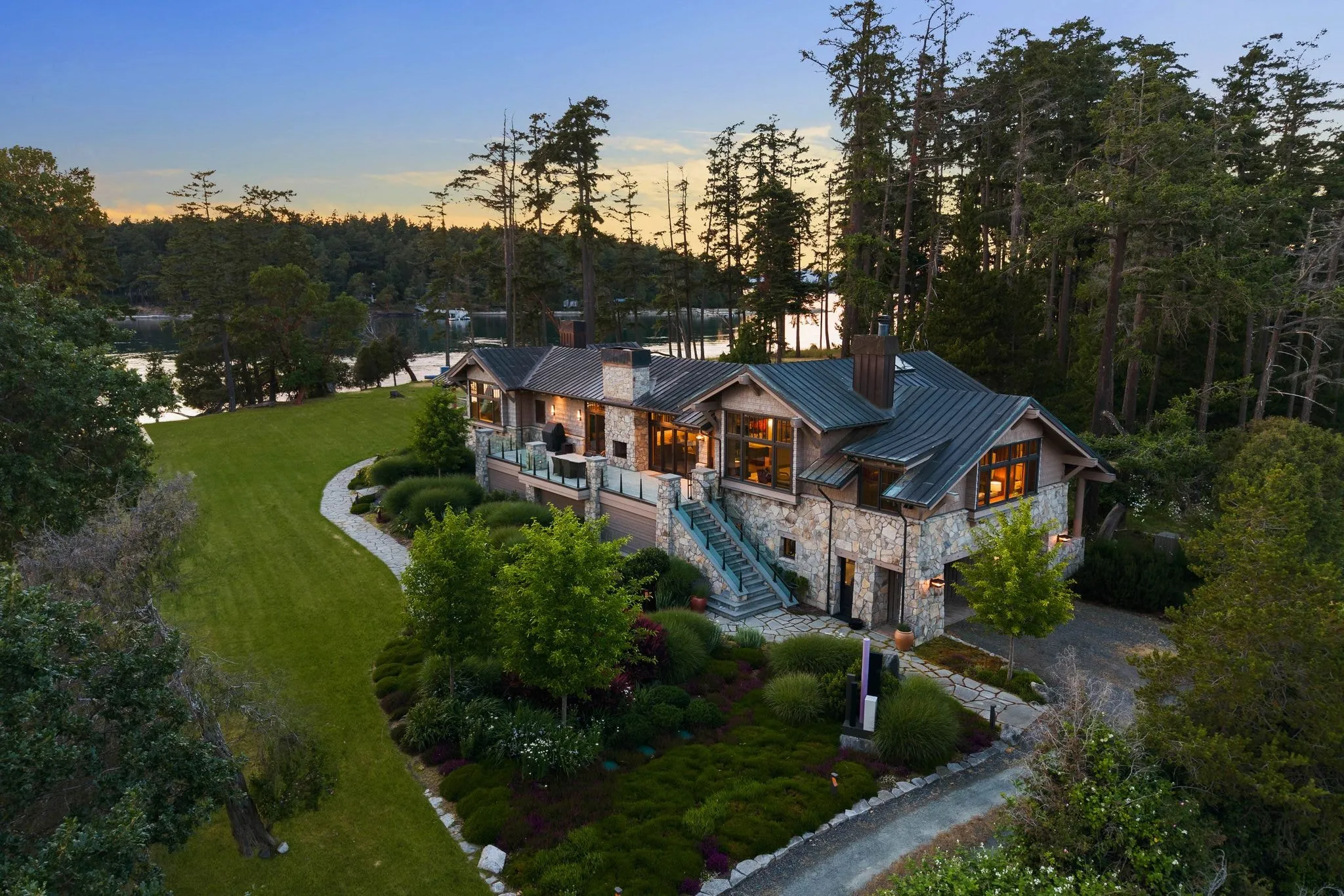
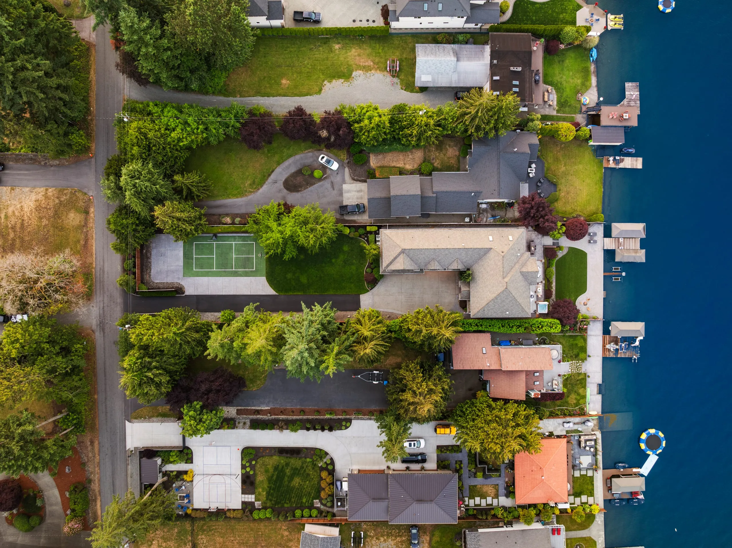
Waterfront near Meydenbauer Bay is its own case. Ground-level photos cannot show a dock, a shoreline, or how close the water is. An aerial shot settles that question in one frame. And for hillside listings around Somerset, where the draw is the view, a drone shot from the right altitude proves the view is real, not just described in the listing copy.
New construction has a different case for it. Framing, roofline, and lot layout photograph better from above before landscaping fills in. Buyers comparing new builds want to see the whole footprint, not a cropped front elevation.
- Large or irregular lots where boundaries and setbacks are not obvious from the street
- Waterfront or view properties where the surrounding land is part of the sale
- New construction where roofline and lot layout matter more than landscaping
- Corner lots or properties backing to greenbelt, where privacy is a selling point
A downtown Bellevue condo rarely needs this. A three-bedroom on a standard suburban lot usually does not either. Save the add-on for listings where altitude tells the buyer something ground photos cannot. The full range sits under our Bellevue aerial and drone services.
Airspace Rules and Flight Windows Near Bellevue
Flying a drone over a listing in Bellevue is not as simple as launching from the driveway. Every commercial flight is governed by 14 CFR Part 107, the FAA rule set that requires the operator to hold a Remote Pilot Certificate. Before any aerial real estate photography job, a certified pilot checks three things: current airspace status, the day’s weather window, and whether the specific parcel sits under any temporary flight restrictions. This is the difference between a hobbyist with a drone and a licensed operator running a job the way a professional service should be run.
Part 107 sets hard operational limits that shape how a shoot is planned. The aircraft must stay at or below 400 feet above ground level, which is more than enough altitude for compelling establishing shots of a home, yard, and surrounding streetscape without needing to push the ceiling. The pilot is also required to maintain visual line of sight with the aircraft at all times, meaning the operator is physically present, watching the drone directly rather than relying solely on a screen. For a neighbourhood like West Bellevue or properties near Meydenbauer Bay, this translates into careful positioning so the pilot can see the aircraft clearly while still capturing the angles a listing needs.
Airspace near Bellevue adds another layer of planning. Renton Municipal Airport maintains Class D controlled airspace that extends into parts of the region, and depending on the exact address, a shoot near downtown Bellevue or along the I-405 corridor may fall inside that boundary. When that happens, the pilot must secure LAANC authorisation, the Low Altitude Authorization and Notification Capability system that grants near real-time clearance to fly in controlled airspace up to an approved altitude. Skipping this step is not a minor oversight, it is an FAA violation, which is why confirming airspace status is one of the first steps in preparing any Bellevue shoot, not an afterthought handled on-site.
Weather and daylight are the other variable a serious aerial photographer plans around, especially in Western Washington. Fall and winter bring shorter daylight hours and persistent cloud cover, which compresses the usable shoot window to a narrow stretch of mid-day light on clear or partly clear days. Wind above roughly 20 miles per hour, rain, and fog around Lake Washington can also ground a flight entirely. Because of this, flexible scheduling and a willingness to reshoot if conditions turn are part of delivering consistent, listing-ready images rather than grainy or unevenly lit photos taken just to meet a deadline.
- Remote Pilot Certificate required under FAA Part 107 for any commercial drone photography
- 400-foot altitude ceiling above ground level on every flight
- Visual line of sight maintained by the pilot throughout the shoot
- LAANC authorisation checked and secured for properties near Renton Municipal Airport’s Class D airspace
- Shoot windows adjusted for shorter daylight and higher cloud cover during fall and winter months
What to Expect Before, During, and After the Flight
A professional aerial shoot rarely happens in isolation. Most Bellevue photography companies bundle drone coverage into the same appointment as interior and twilight photography, so the pilot arrives with the ground photographer, reviews the shot list together, and coordinates timing so both crews are not working the same airspace above the yard at once.
Before any propeller spins, there is prep work on the ground. Because an aerial frame captures the entire parcel, not just the staged living room, small details that a ground camera would crop out become impossible to hide from above. Agents and homeowners in neighbourhoods like Somerset, Bridle Trails, and West Bellevue are typically asked to move vehicles off the driveway, roll trash and recycling bins out of view, coil hoses, and clear trampolines or pool equipment that would otherwise dominate a top-down shot.
- Confirm weather and wind conditions are within safe operating limits for the aircraft
- Check current airspace restrictions given proximity to Boeing Field and the Seattle Class Bravo shelf
- Walk the lot to identify power lines, mature trees, and neighbouring structures
- Select a launch and landing zone that avoids people, pets, and roadways
- Plan the flight path for both straight-down mapping shots and angled perspective shots
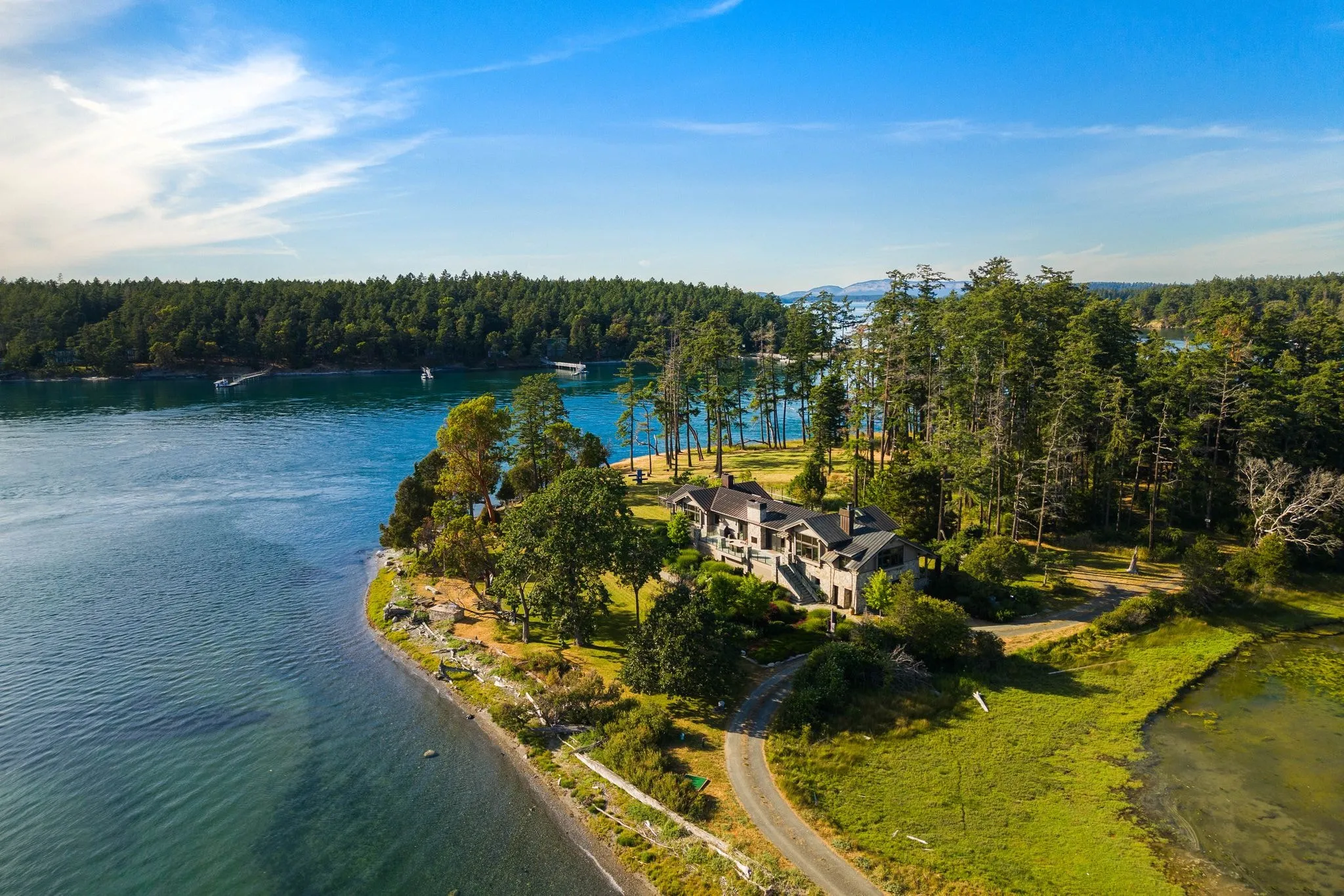
During the flight itself, a certified pilot alternates between two shot types: a straight-down view that reads almost like a plat map, useful for showing lot lines, parking, and layout, and angled establishing shots that put the home in context with the water, greenbelt, or skyline. Many Bellevue shoots are timed for golden hour, when low sun angles soften shadows on the roofline and add warm tones to Lake Washington or the Cascades in the background, though this has to be balanced against daylight hours and any last-minute airspace notices.
After the flight: once captured, aerial frames are edited alongside the rest of the listing package, colour-matched to the ground photos, and delivered together rather than as a separate add-on, so agents get one cohesive set ready for MLS and marketing.
How Aerial Photography Pricing Works
Most drone photography for real estate gets priced one of two ways: a flat rate per shoot, or a per-image rate that adds up fast once you start picking favourites. Flat rate is the one you want. It lets you know your cost before the drone ever leaves the ground, which matters when you are budgeting marketing spend across a whole listing.
Square footage and lot size drive most of the variation you will see between quotes. A quarter-acre lot with a straightforward roofline flies fast. A large estate with outbuildings, a pool, or a long driveway takes more air time and more editing. That difference should show up in the quote, not as a surprise on the invoice.
A few other things move the number.
- Flight time on site, tied to lot size and how many angles the listing needs
- Whether the pilot holds an FAA Part 107 certification, which affects what airspace and conditions they can legally fly in
- Weather-related rescheduling, since wind and rain ground a drone even when a ground shoot could still happen
- Add-ons like drone video or a Matterport tour bundled onto the same visit
Before you book, ask two things: is this a flat rate for the whole property, and does the quote already include editing? Often, agents who get burned on aerial costs got a per-image quote that ballooned once they saw the gallery. If the listing also wants motion, drone photography and video are usually quoted together on the same flight rather than as two visits.
Frequently asked questions
How far in advance should I book aerial photography for my Bellevue listing?
What happens when the photographer arrives to shoot my property?
Does my Bellevue condo or townhome need aerial photography?
Can you legally fly a drone near downtown Bellevue?
Which Bellevue properties benefit most from a drone photo?
Will bad weather delay my scheduled drone photography session?
Ready to book your Bellevue shoot?
Tell us the address and the square footage. We’ll give you a price and a time slot on the same call.