

Drone Video and Cinematography in Bellevue: Motion for Lots a Photo Cannot Hold
Photos delivered by noon the next day, or the shoot is free.
- Over $2 billion in real estate photographed
- Photos delivered by noon the next day
- 4.9★ average rating on Google
Aerial Video Works Best on View Lots and Large Properties
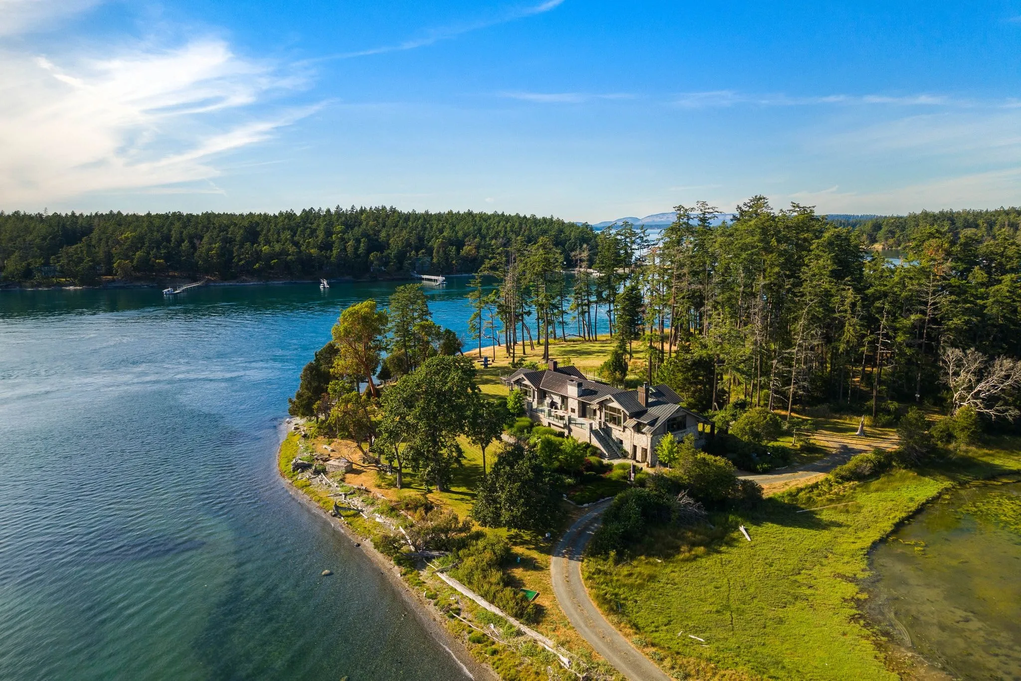
Drone video for real estate listings earns its place on view lots, wooded acreage, and larger homes where a single photo cannot show the whole picture. On a standard in-city lot, it is often more motion than the listing needs.
Not every listing needs a flyover. But if you are marketing a home with a view, a sloped lot, or real acreage, aerial video does something a photo just cannot.
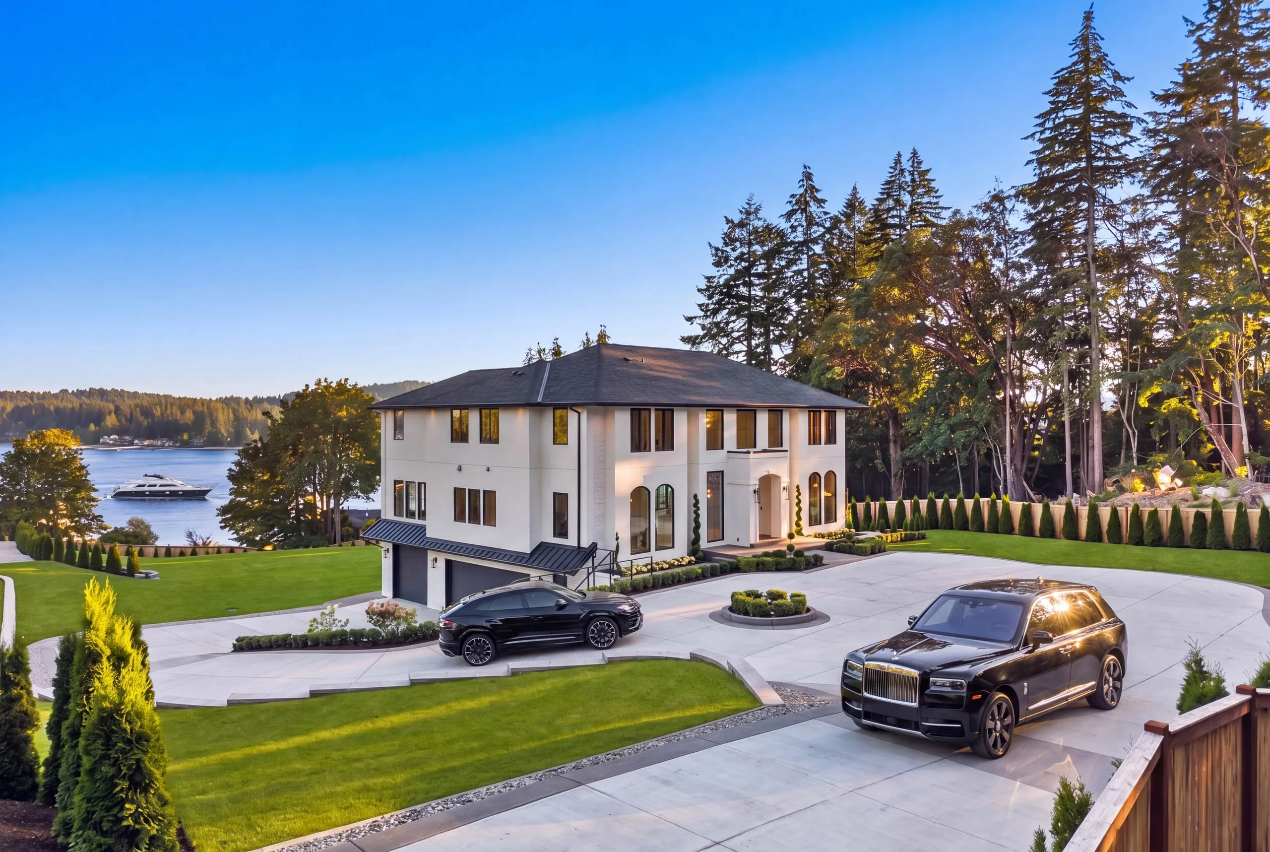
Bellevue’s West side has plenty of hillside lots with Lake Washington sightlines, the kind where the view only reveals itself once you are 100 feet up. A ground shot crops that out. A flyover shows the buyer exactly what they would wake up to.
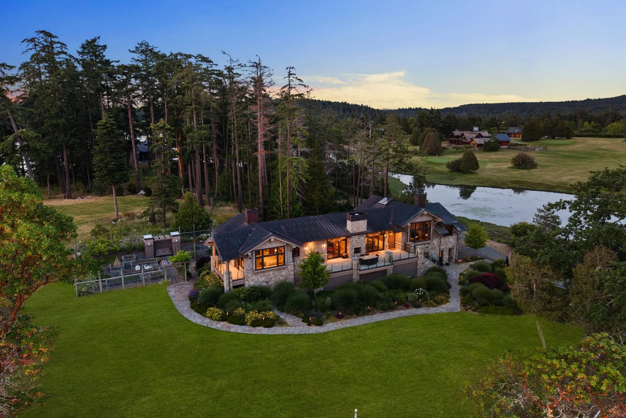
Same logic applies to bigger parcels. If a listing sits on a lot with mature trees, a long driveway, or separate structures, video lets a buyer understand the property’s shape in a way stills alone cannot. We see this constantly on the larger Eastside lots, buyers scrolling past a dozen interior shots and stopping cold on the one clip that shows the whole property at once. Once a parcel runs to real acreage with outbuildings, it moves into aerial coverage built for gated drives and outbuildings, which needs more than a single pass.
On a flat, standard-sized city lot with no view and no acreage, drone video usually adds motion without adding information. That is fine. Save it for the listing where it counts, and let aerial stills carry the rest.
So how do you know if yours qualifies? Ask whether a buyer standing at street level is missing something important, the lot line, the topography, the view corridor. If yes, that is your signal.
Downtown Condos and Small Lots Rarely Need Aerial Footage
Not every Bellevue listing benefits from a drone. Buildings like Bellevue Towers, The Bravern, and Highland House sit inside dense downtown airspace where a sweeping aerial shot of the exterior tells buyers almost nothing useful. A twelfth-floor unit looks like every other floor from the sky, and rooftop shots of a glass tower rarely differentiate one condo listing from another. What sells these units is the view from inside looking out, the natural light hitting the kitchen counters in late afternoon, and a walkthrough that captures square footage and flow. Spending drone budget on a building exterior when the real selling point is the 270-degree view of Lake Washington from unit 1904 is a mismatch of tool to task.
The same logic applies to tight urban lots in neighbourhoods like Old Bellevue or small parcels wedged between commercial buildings near 108th Avenue. A quarter-acre lot with a house close to its neighbours does not have the visual scale that makes aerial footage compelling. There is no sweeping driveway, no acreage to reveal, no context that a street-level shot cannot already provide. Drone footage over a tight lot often just shows rooftops and fences, which adds cost without adding persuasion.
Interior-only rentals and listings on a tight marketing budget fall into this same category. A renter choosing between two-bedroom units in Bellevue is comparing closet space, appliance quality, and natural light, not neighbourhood elevation. For these properties, dollars are better spent on a stabilised interior walkthrough, a few well-lit still photos, and possibly a short handheld gimbal clip through the main living space.
- High-rise condos above the fourth or fifth floor: prioritise interior video and in-unit view shots over exterior aerials
- Lots under 6,000 square feet in dense pockets like Old Bellevue: skip aerial, use street-level and interior footage instead
- Interior-only rentals: a stabilised walkthrough almost always outperforms drone footage for lease-up speed
- Listings under a firm marketing budget: allocate spend to photography and interior video before adding aerial as an extra line item
Recommending against a drone add-on when it will not move the needle is part of doing this work honestly. A good production plan matches the format to the property, not the property to whatever equipment happens to be available that week.
FAA Certification Separates Legal Drone Video From Hobbyist Footage
Here is the part most agents never think about until it bites them. Flying a drone for your listing is not the same as flying one for fun in your backyard. The moment that footage gets used to market a property, the FAA calls it commercial operation. That requires a Part 107 licence, full stop.
Our team flies under FAA Part 107 certification. That means every flight follows federal airspace rules, not just common sense.
Why does this matter in Bellevue specifically? Downtown high-rises near Bellevue’s core sit close to controlled airspace tied to the region’s commercial flight paths. A licensed pilot knows how to check that airspace before takeoff and get authorisation when it is needed. A neighbour with a drone from his garage usually does not, and does not know he is supposed to.
So what happens if you hire someone without that licence? You are the one who used the footage commercially. If a complaint gets filed, or a property manager asks questions, that is your name on the listing, not theirs.
We have had agents ask us to fix cinematic property videos shot by a friend with a hobby drone. The footage looks fine on a phone screen and falls apart on a full monitor: shaky, over-exposed sky, wrong angles for the lot lines.
Ask any provider one simple question before you book: are you Part 107 certified? If they hesitate, that is your answer.
Scheduling Around Airspace Rules and Pacific Northwest Weather
Bellevue sits close enough to Seattle-Tacoma International Airport and King County International Airport that a meaningful portion of the city falls under controlled airspace. Flying a drone commercially here almost always requires LAANC authorisation, a system that grants near-real-time clearance for most locations but can still take anywhere from a few minutes to several business days depending on altitude requests, proximity to runways, and whether a grid square requires manual FAA review. Because of this, we build LAANC coordination into the project timeline from the first phone call rather than treating it as a same-day formality. Clients who need footage for a launch event or listing deadline should factor in at least a few days of lead time so authorisation is not the bottleneck.
Weather is the second major scheduling variable, and it matters more here than in drier markets. The Puget Sound wet season, roughly October through April, brings persistent low cloud ceilings, drizzle, and reduced visibility that can ground a shoot even when it is not technically raining hard. Part 107 rules require minimum visibility and cloud clearance margins, and safe operation also depends on wind speeds staying within the aircraft’s rated limits, typically well under 20 to 25 mph sustained for stable cinematic footage. A grey, drippy Bellevue morning that looks fine from the ground can still be unsafe or simply produce flat, lifeless video.
- LAANC requests are submitted as soon as the shoot location and date are confirmed
- Wind, ceiling, and precipitation forecasts are checked again 24 to 48 hours before the flight
- A backup date within the same week is proposed at booking to reduce back and forth
- Clients are notified as early as possible if conditions require moving the shoot
- Summer months, roughly May through September, offer the most predictable flying windows
Because of these two factors, every quote includes a conversation about flexible dates rather than a single fixed appointment. Rescheduling due to weather is common enough during the wetter months that we treat it as a normal part of planning, not an exception. Clients get the most reliable results when they allow a loose window, especially for outdoor real estate, construction progress, or event coverage where lighting and visibility directly affect the final product.
How Drone Video Pricing Works as a Listing Add-On
Across the real estate media industry, drone video is almost never sold as a standalone product. It is bundled into a listing media package as an add-on layered on top of photography or a full video walkthrough, and most listings that take video also take drone photography in the same flight. Providers scale the add-on price to three main variables: how large and complex the property and lot are, how many distinct aerial passes or angles the shoot requires, and whether the client receives a fully edited clip or raw, unedited footage for their own editor to assemble.
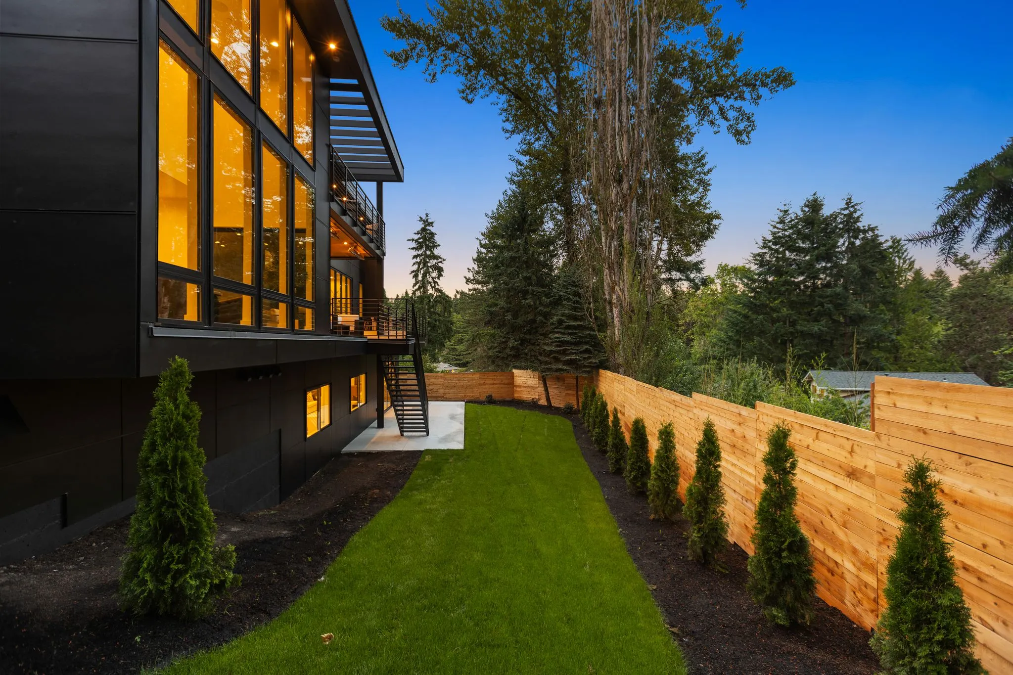
Property size and lot complexity matter because a compact Bellevue townhome on a flat, open lot takes far less flight planning than a sprawling estate on the Bridle Trails or Somerset hillside, where mature tree canopy, power lines, and irregular terrain force slower, more deliberate flying. Waterfront listings along Meydenbauer Bay add another layer, since pilots must account for wind gusts off the water and nearby boat traffic when framing shots.
Pass count is the second lever. A basic package might include a single establishing orbit of the front exterior, while a premium package covers multiple passes: a rising reveal, a lateral flyover of the backyard and outdoor living space, and a neighbourhood context shot pulling back to show proximity to Bellevue Downtown Park or nearby trailheads. Each additional pass adds flight time, battery swaps, and editing minutes, which is reflected in the add-on tier.
Edited versus raw delivery is the third factor. Fully edited footage with colour grading, stabilisation, music licensing, and pacing cuts requires hours that raw footage delivery skips entirely, so raw handoffs typically sit at the lower end of any add-on tier.
Airspace authorisation adds a less visible but real cost driver in this area. Bellevue sits close to Renton Municipal Airport and within reach of Seattle-Tacoma International Class B airspace, so certain neighbourhoods may require a Part 107 waiver or LAANC authorisation before a legal flight can occur. That coordination time, even when brief, is often factored into the add-on rather than billed separately.
- Does the quoted add-on price include airspace authorisation if my property falls in controlled airspace?
- How many aerial passes and total minutes of footage are included at this tier?
- Is the delivery fully edited with music and colour correction, or raw footage only?
- What happens if weather or wind forces a reschedule, and is there an added fee?
- Can I see a sample clip from a similarly sized Bellevue property before booking?
In short, drone video pricing scales with flight complexity, pass count, and editing scope rather than a flat rate. Before booking, ask providers to break down what triggers airspace coordination fees and what raw versus edited delivery includes. Motion is one option on our aerial and drone service lineup, and stills often fly in the same visit.
Frequently asked questions
How far in advance do I need to book drone video for a Bellevue listing?
What should I expect when the drone pilot arrives at my listing?
Does every Bellevue listing need drone video?
Do downtown Bellevue condos benefit from drone footage?
Why does drone video for real estate need FAA certification?
Ready to book your Bellevue shoot?
Tell us the address and the square footage. We’ll give you a price and a time slot on the same call.