

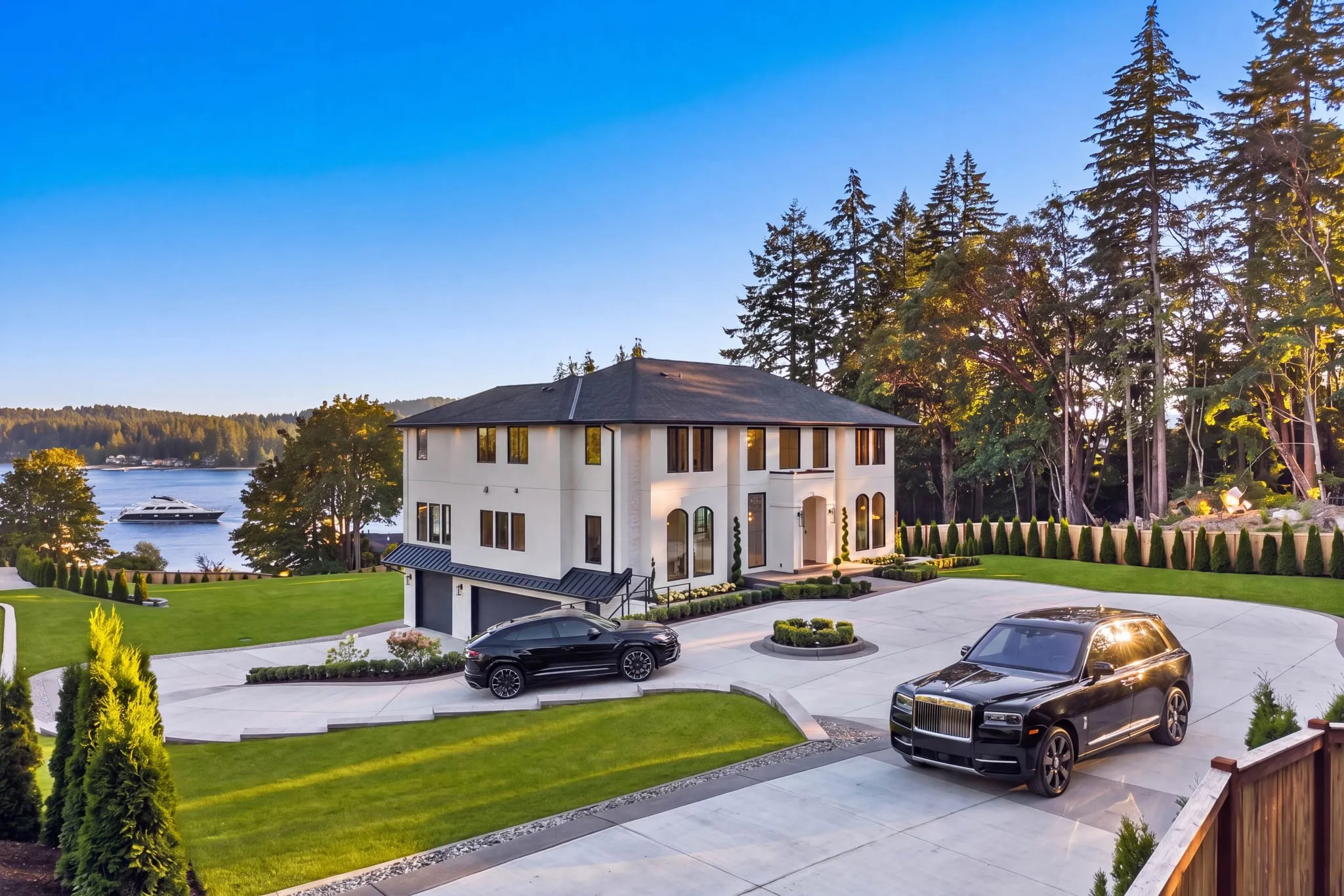
Aerial Real Estate Photography in Bothell
Photos in your hands by noon the next day, or the shoot is free.
- Over $2 billion in real estate photographed
- Photos delivered by noon the next day
- 4.9★ average rating on Google
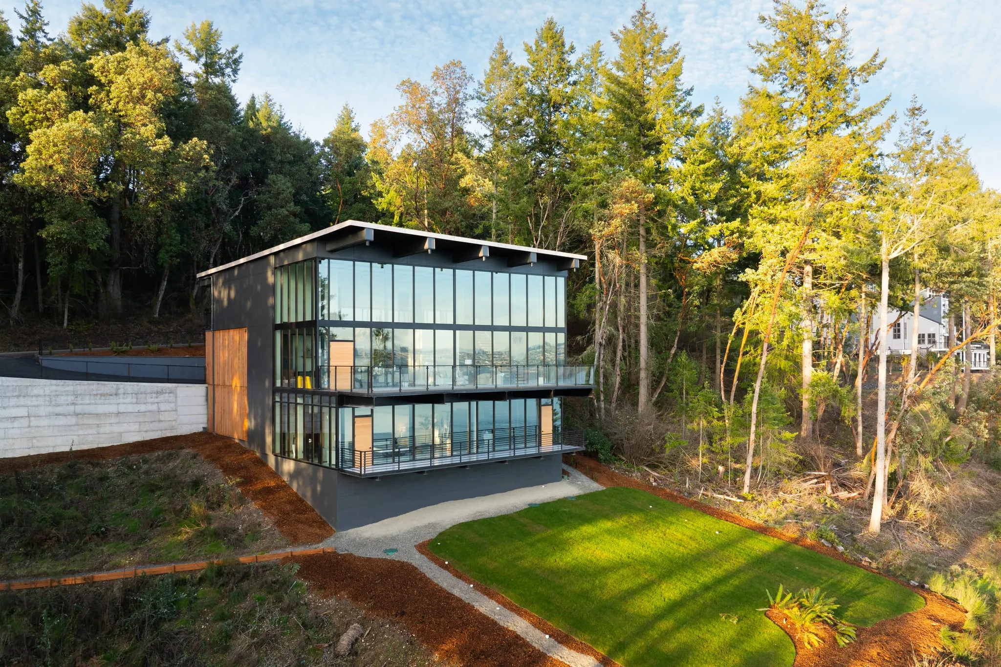
Choosing the Right Aerial Service in Bothell
ACRE Seattle flies drones for real estate listings across Bothell, with certified drone pilots on every shoot. We offer four aerial services: drone photography, aerial real estate photography, drone video and cinematography, and large estate aerial photography. Which one you book depends on the property and what the images are for.
Picking the right aerial photographer in Bothell comes down to one question: what is this shoot for? A standard listing, a large estate, or a video piece to run alongside your stills. ACRE Seattle covers all four, and our pilots handle the flight planning on every job.
Bothell makes that choice matter. Homes here run from wooded North Creek lots with heavy tree cover to open riverside parcels near the Sammamish River. A tight infill lot and a five-acre waterfront property need completely different flight plans.
This page walks through the four aerial services we offer. Read the section that matches your listing.
We’re a real estate marketing agency that flies drones, not a drone company. ACRE Seattle works from a location in Bothell with licensed agents across the Eastside, Seattle, and the greater Puget Sound region. Your aerials come back matched to the rest of your photo set, ready for MLS.
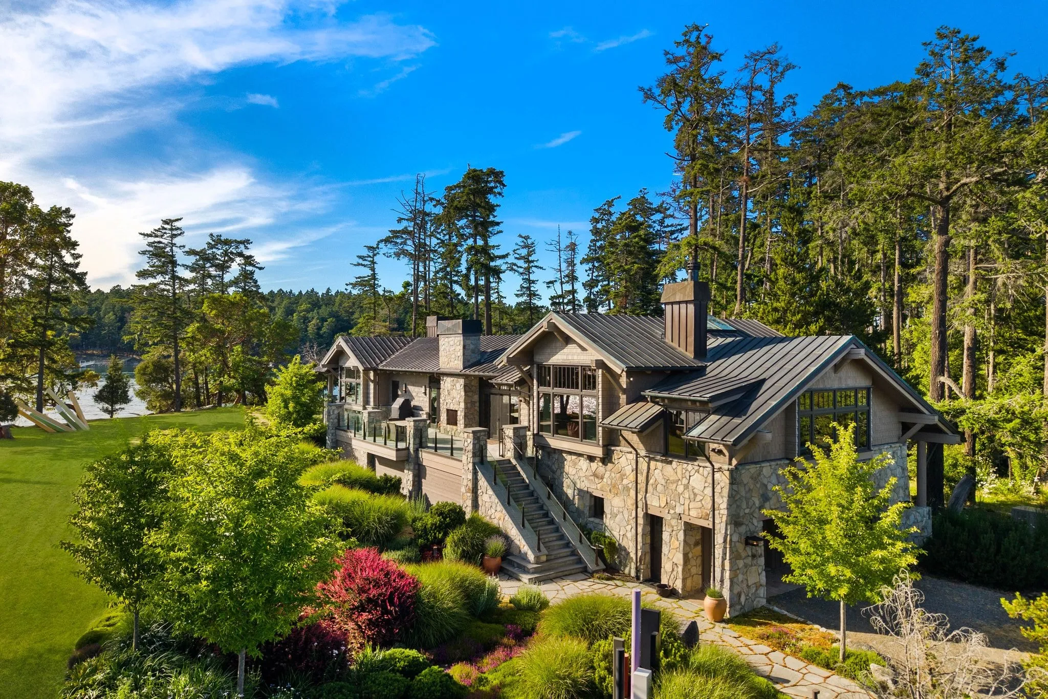
Aerial Real Estate Photography Shows Bothell Listings at Their Best
You’ve got a listing going live next week and the ground shots don’t tell the whole story. That’s the moment for aerial real estate photography.
This is drone photography applied specifically to a listing, timed and composed for MLS and marketing use. It’s the right call when the images go straight into a listing package. Aerial shots show lot size, roofline, and the streets around the property in a way ground-level photos simply can’t.
Our pilots plan the flight path before the shoot, not during it, and each one holds an FAA Part 107 certification. That matters more in Bothell than people expect. Older neighborhoods here have mature tree canopy that blocks clean sightlines, so we account for tree cover ahead of time and pick angles that actually work.
What aerial real estate photography typically covers:
- Wide establishing shots showing the home in its neighborhood
- Elevated angles that reveal full lot boundaries
- Roofline and rear-yard views ground photos miss
- Context shots showing nearby parks, trails, or water
Even standard-sized Bothell lots benefit. Buyers scrolling listings want to know what’s around the house, not just inside it.
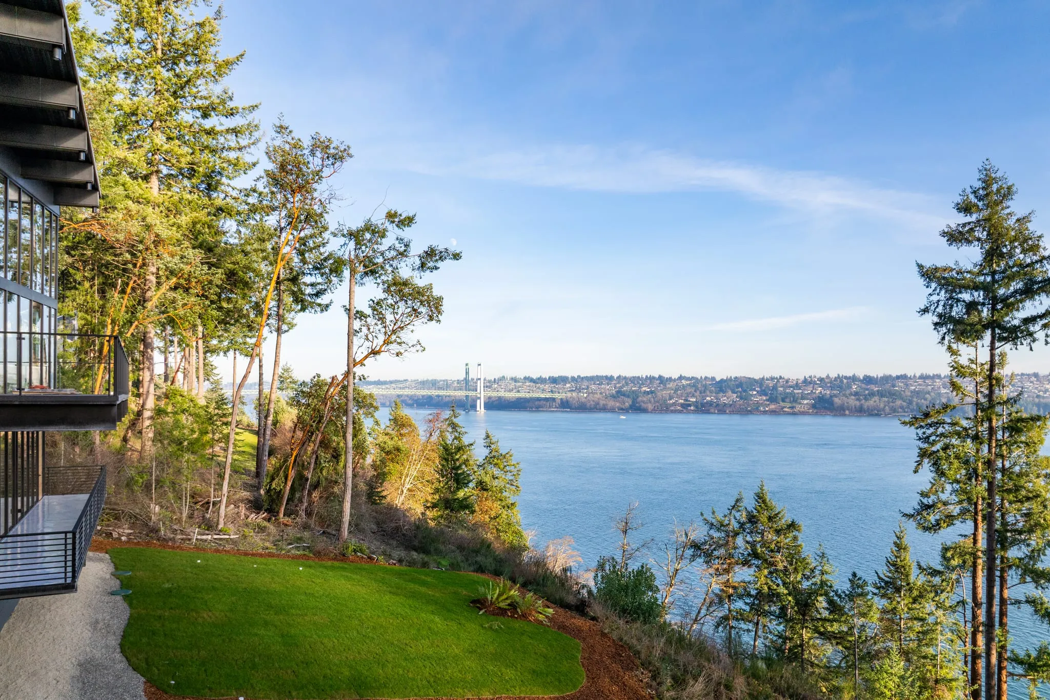
Drone Photography Covers More Than Just Listings
Drone photography is the broader service. Any subject, any use case, not just homes on the market.
Choose this over aerial real estate photography when the images aren’t headed into an MLS listing. Maybe you’re documenting a land parcel before it goes to market. Maybe you need progress images on a site over several months. Maybe it’s a personal project. Same pilots, same flight planning, different purpose.
The flight work doesn’t change much. What changes is how we compose. A listing aerial is framed to sell a home. A parcel aerial is framed to show boundaries, access, and terrain honestly.
Bothell spans both King and Snohomish counties, and the landscape shifts a lot between them. Rolling terrain, dense evergreens, and uneven lot lines all affect what a usable aerial image looks like. We plan around that.
One thing worth clearing up: a drone owner isn’t automatically allowed to shoot commercially. FAA Part 107 certification is a legal requirement for commercial drone work, not a bonus credential. Every pilot we send holds it, along with the licensing and insurance ACRE Seattle carries for the business as a whole.
Drone Video / Cinematography Adds Motion to a Listing
Stills and video are two different deliverables. Agents often assume the two come bundled together.
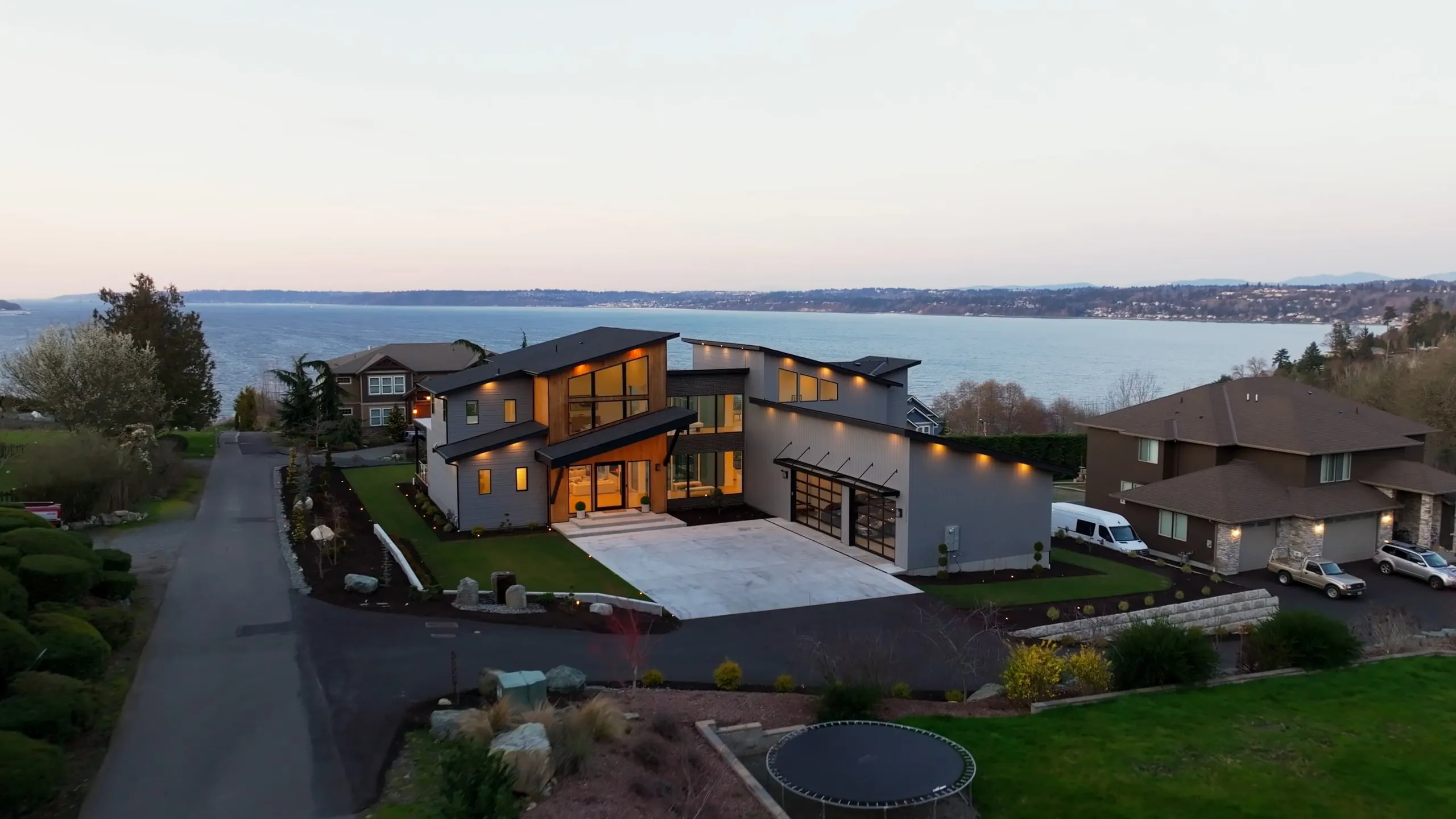
Drone video delivers moving footage. Drone photography delivers still images. If your listing needs both, plan for two separate deliverables, scheduled and flown separately. The flight patterns aren’t the same. A reveal shot that pulls up over the roofline needs a different approach than a single composed still.
Video works well when you’re running listing marketing on social or want a walkthrough-style flyover on the listing page. It gives a sense of scale and approach that a photo can’t. You see how the property sits, how the driveway comes in, what the tree line does.
Turnaround on video runs longer than photos. That’s just the nature of it, so build a little room into your listing timeline.
Pacific Northwest weather is the other scheduling factor. Low cloud ceilings and overcast stretches through fall and winter limit good flying windows. We’ll work with you on timing rather than fly into bad conditions and hand you footage you won’t use.
Large Estate Aerial Photography Handles Bigger Lots
This is a scale variant of aerial real estate photography. Same skill set, bigger job.
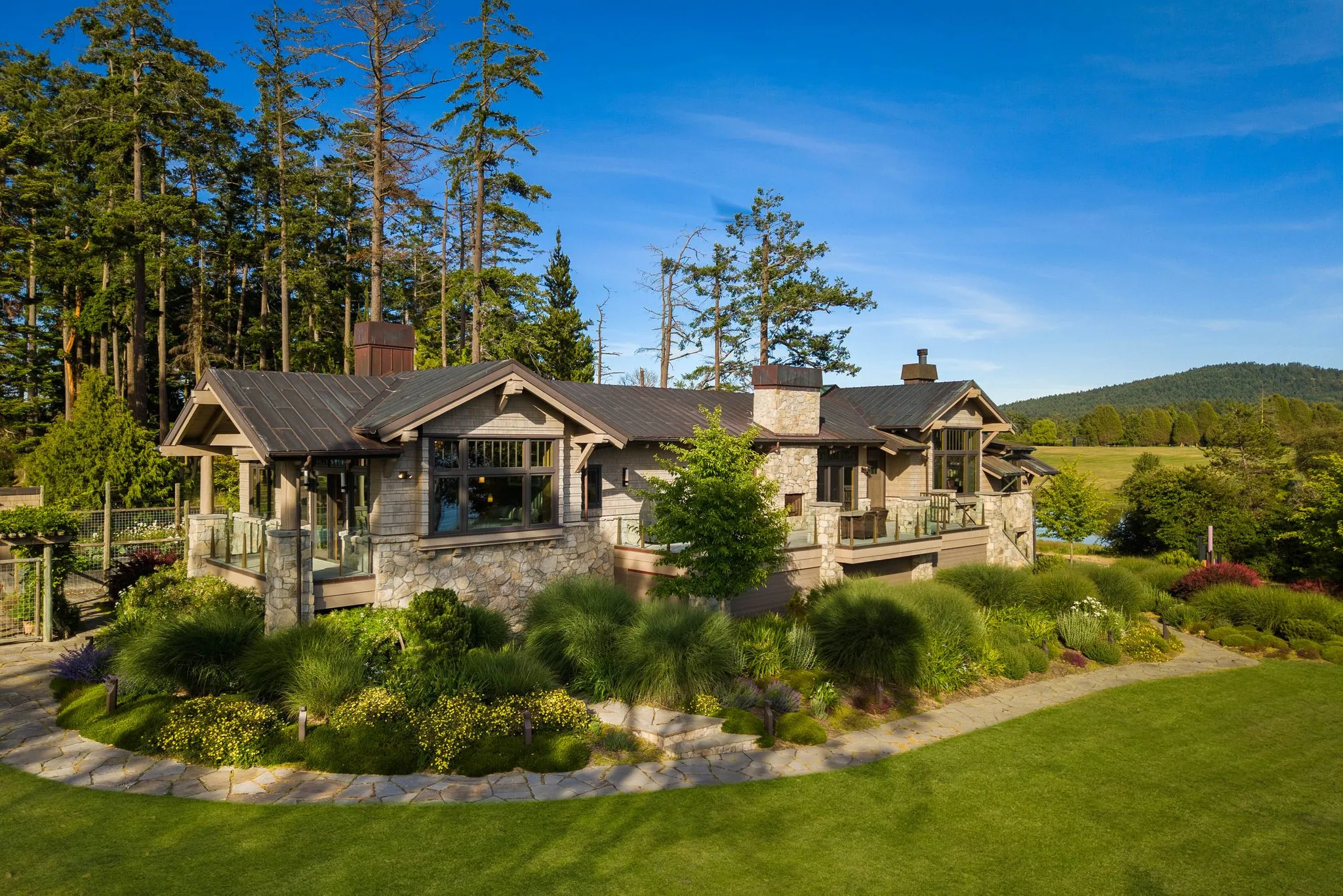
Acreage, waterfront, and multi-structure properties need wider flight patterns and more vantage points. One or two aerials won’t cover a property with outbuildings, a long driveway, and a water boundary. We plan extra compositions to cover the added ground.
Larger parcels near the Sammamish River corridor are the clearest example. Those listings live or die on showing water proximity, tree coverage, and where the lot actually ends. A buyer looking at a five-acre riverside property wants to see the whole shape of it.
Where estate work differs from a standard aerial set:
- More vantage points to cover the full parcel
- Shots that establish water frontage or boundary lines
- Separate coverage for outbuildings, shops, or guest structures
- Wider approach shots showing driveway and access
Heavily wooded estate lots take more planning than open ones. Tree density around Bothell’s larger parcels limits flight paths, and getting a clean angle takes a pilot who’s worked around it before.
Aerial and Drone Photos From Recent Flights
Listings, estates and a commercial marina, each flown by an FAA Part 107 certified pilot. Click any photo to see it full size.
Frequently asked questions
Which aerial service do I need for a normal single-family listing?
How do I choose between drone photography and aerial real estate photography?
Do I need both drone photos and drone video for my listing?
What should I expect from aerial photography on a Bothell property with heavy tree cover?
When does a property need large estate aerial photography instead of standard aerial shots?
Does weather in Bothell affect when drone photos or video can be scheduled?
Booking a shoot in Bothell?
Give us the listing address and its square footage. You’ll leave the call with a price and a shoot time.